Progress over the Keys, Port Charlotte, and Okeechobee
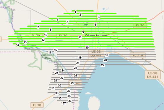
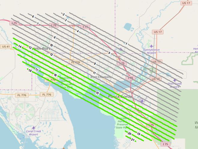
3″ nadir imagery acquisition complete over Key West and Summerland despite challenging weather conditions. Progress also reported over 6″ nadir Port Charlotte and 3″ nadir/oblique Okeechobee North.
Key West and Summerland (below):

Okeechobee North:
Port Charlotte:
Reported by Sanborn Mapping


