Blue Sky
Aerial imagery for insurers, available online and on demand.
The Blue Sky Advantage
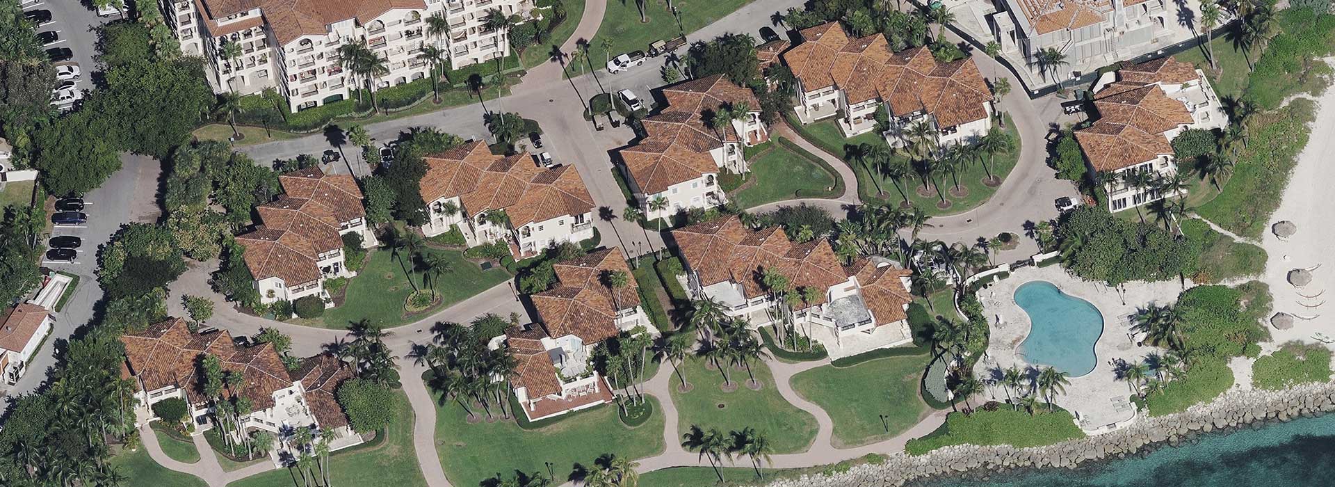
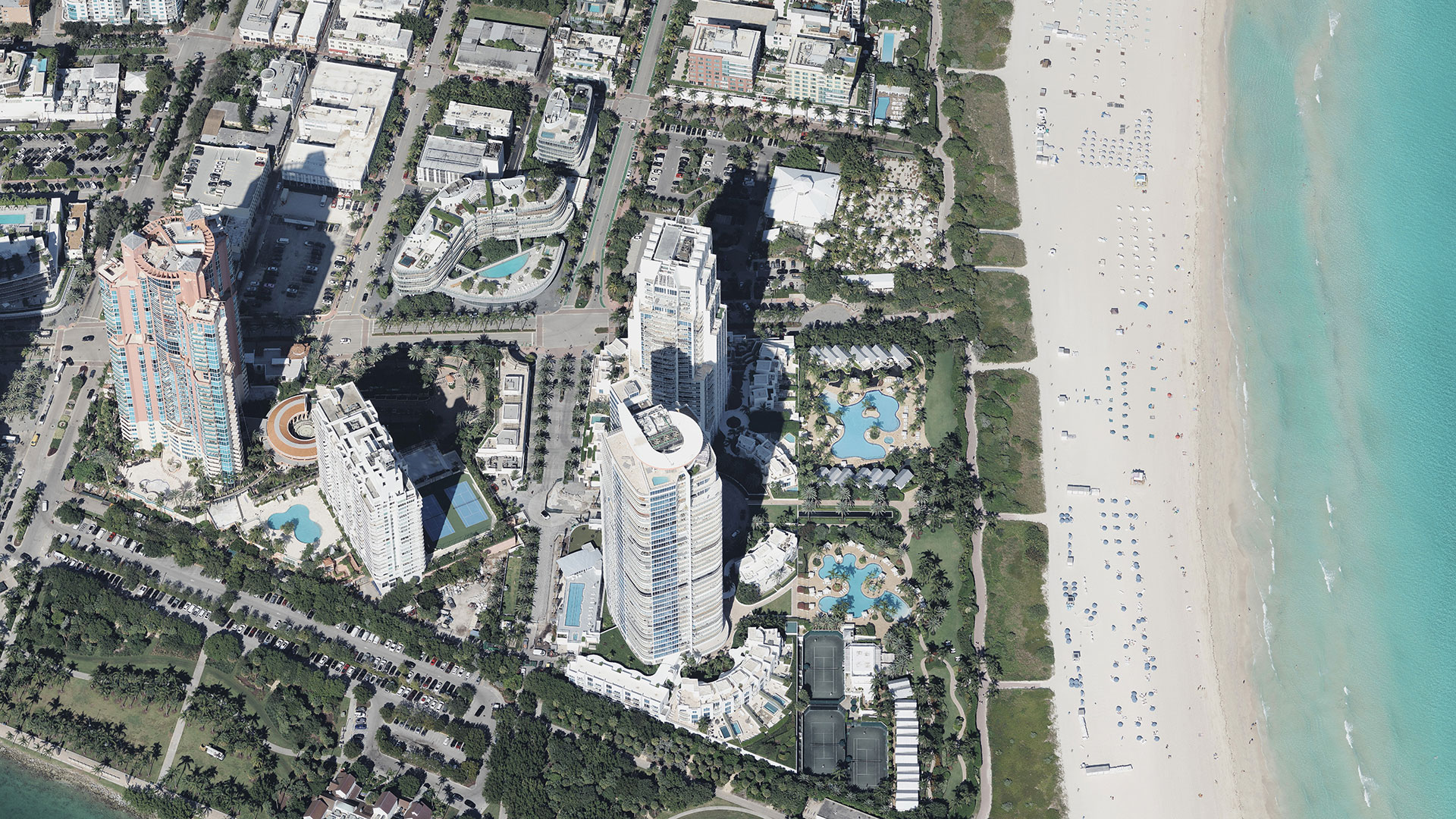
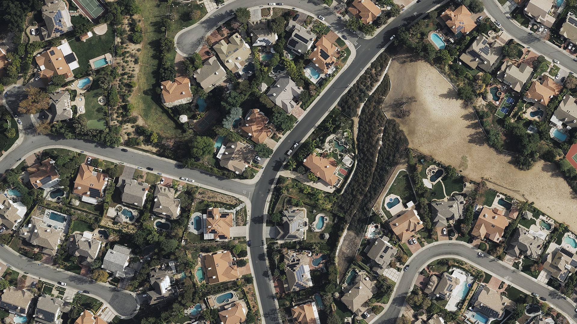
Offering the most accurate and complete portfolio of nationwide imagery, the Blue Sky capture program gives insurers the confidence they need when making decisions across the policy life cycle. Aerial imagery and geospatial data is collected using cutting-edge camera and sensor technology from fixed-wing aircrafts. Plus, our aerial imagery has four times greater resolution than satellite imagery. It’s the visualization you want, cloud-based and ready wherever you need to be.
Improve Your Book of Business
Leverage ultra high-resolution imagery to better manage your policies, easily view areas of high interest, and organize your offerings to optimize sales and improve customer service.
More Informed Decision-Making
It’s not just about data—it’s about having access to the right data. Whether it’s oblique, ortho, DSM, or multispectral location content, members can access, analyze, and take action just by entering an address; the information you need is all at your fingertips.
Reduce Risk & Scale Your Business
Integrate high-res imagery into your preferred property risk management platform and use the entire portfolio of geospatial data from the GIC to create better risk models and grow your business.
Types of Imagery
Whether you need a wide vertical view, a superbly sharp oblique image, or location content to help provide critical insights, you’ll have access to it all. Scroll through the provided galleries for a sneak peek of what we’ve captured recently.
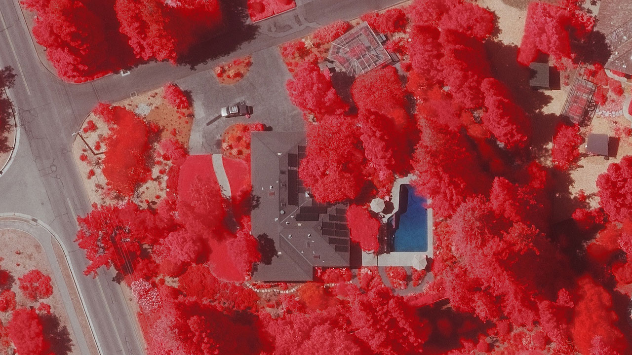
Multispectral Imagery
Take your evaluation of property to the next level with near-infrared (NIR) imagery. Use this capability to help classify vegetation to assess and build a better fire risk analysis.
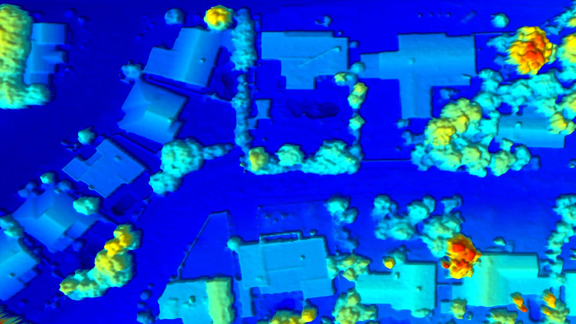
Digital Surface Models
To get a 3D representation of the property or parcel in question, DSM provides a clear view of the ground’s surface and assists in powering automatic feature extraction and machine learning applications..
API & Integrations
Bring imagery into your preferred GIS platform with powerful APIs.
Request A Demo
Unlock more insights for insurance.

