Underwriting
Insights You Need,
Right From Your Desk
Make More Informed Decisions with Confidence
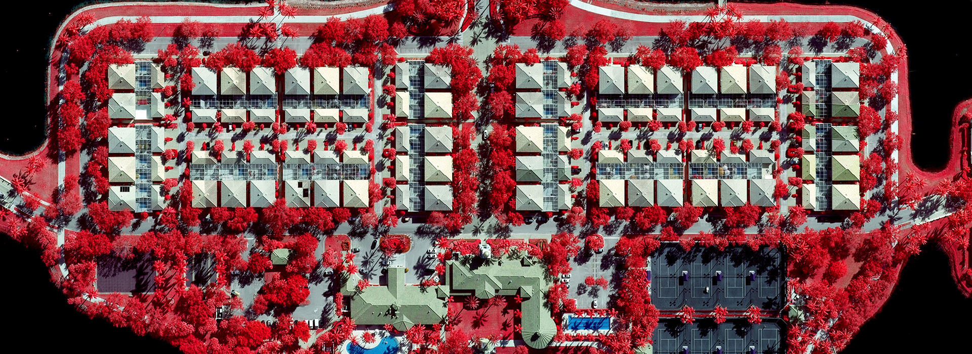
When you need to evaluate a property or parcel, clear and accurate imagery is a must. Get the full picture with true location intelligence from the GIC.
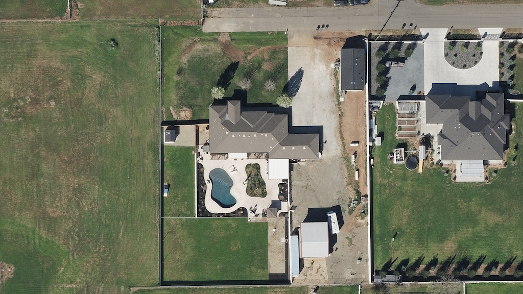
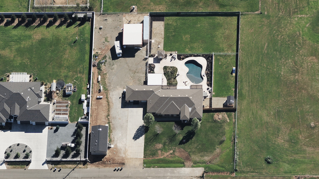
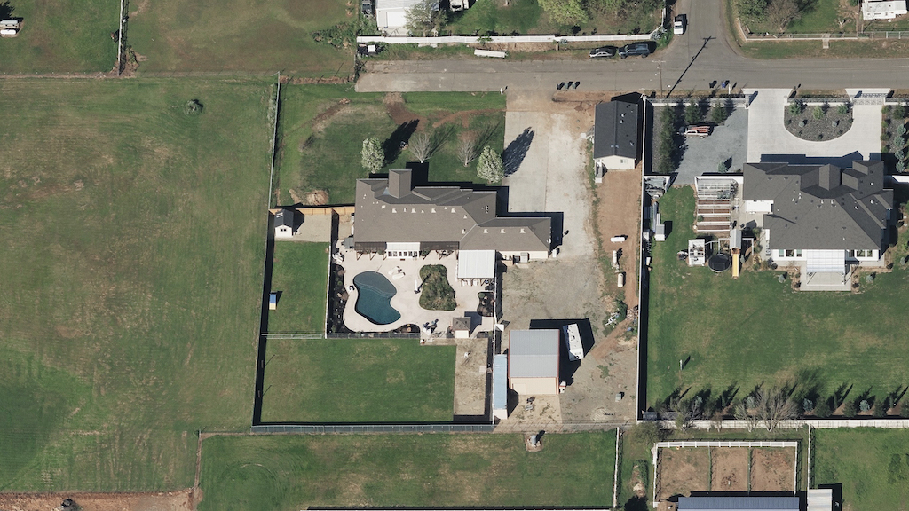
Analyze 5 views of each property
See 360 degrees around your property of interest, from top down to all four cardinal views.
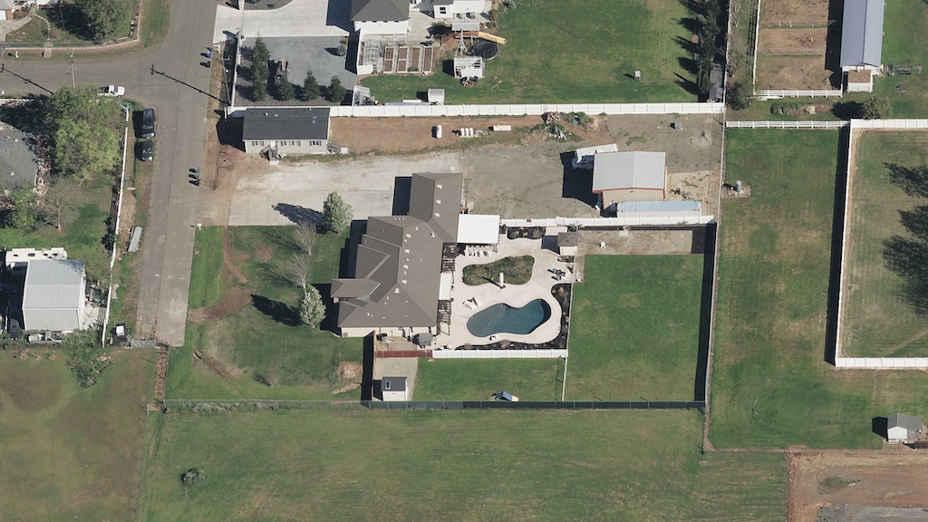
Analyze 5 views of each property
See 360 degrees around your property of interest, from top down to all four cardinal views.
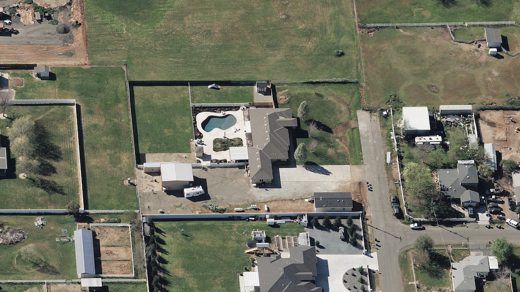
Analyze 5 views of each property
See 360 degrees around your property of interest, from top down to all four cardinal views.
Analyze 5 views of each property
See 360 degrees around your property of interest, from top down to all four cardinal views.
Analyze 5 views of each property
See 360 degrees around your property of interest, from top down to all four cardinal views.
Rate Property with Precision
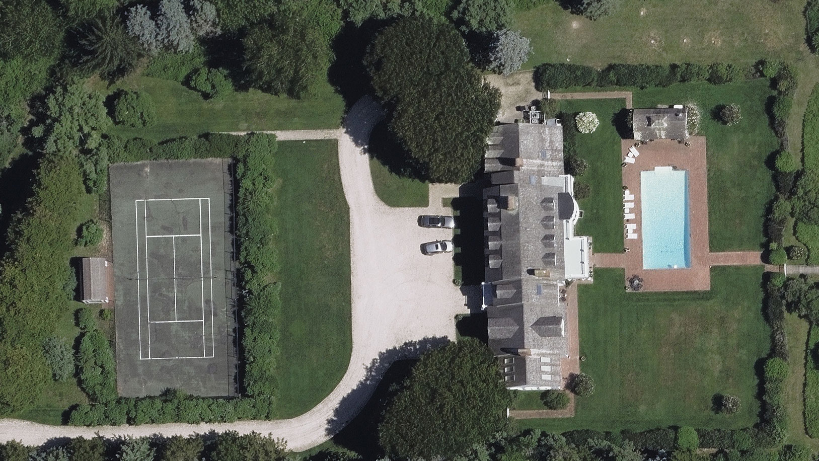
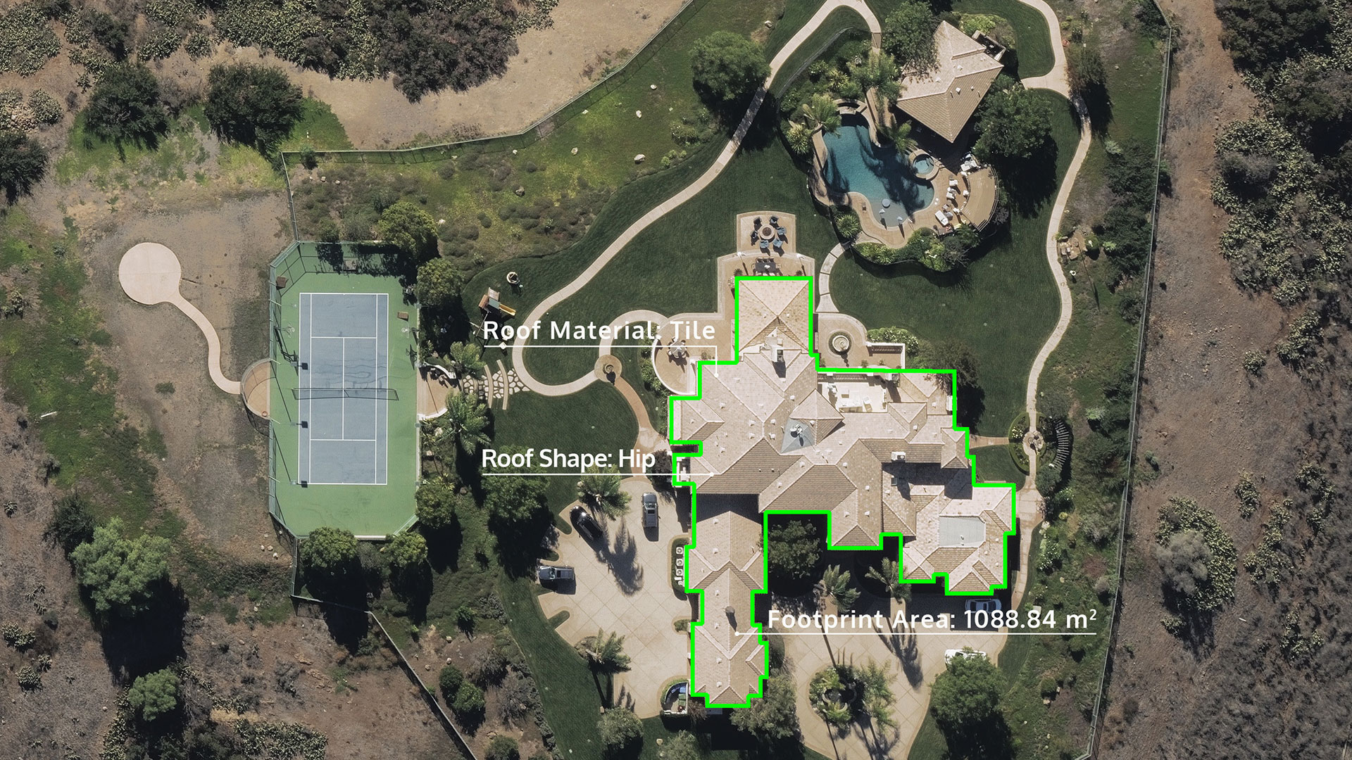
Underwriters need to rate commercial and residential property as accurately–and profitably–as possible. Access to high-resolution imagery and data gives insurers the ability to quickly assess properties and assess value to determine how much coverage is needed.
Evaluate Property at Scale
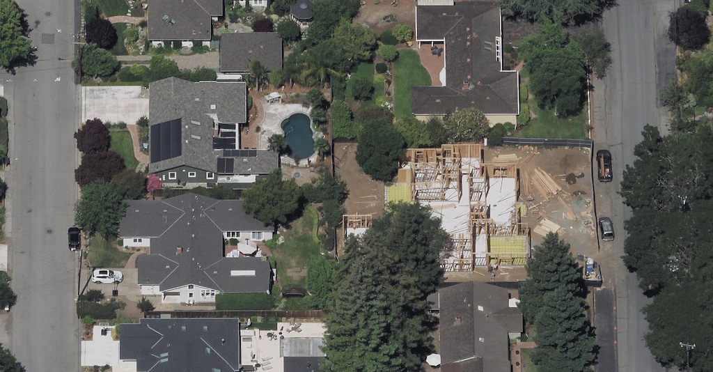
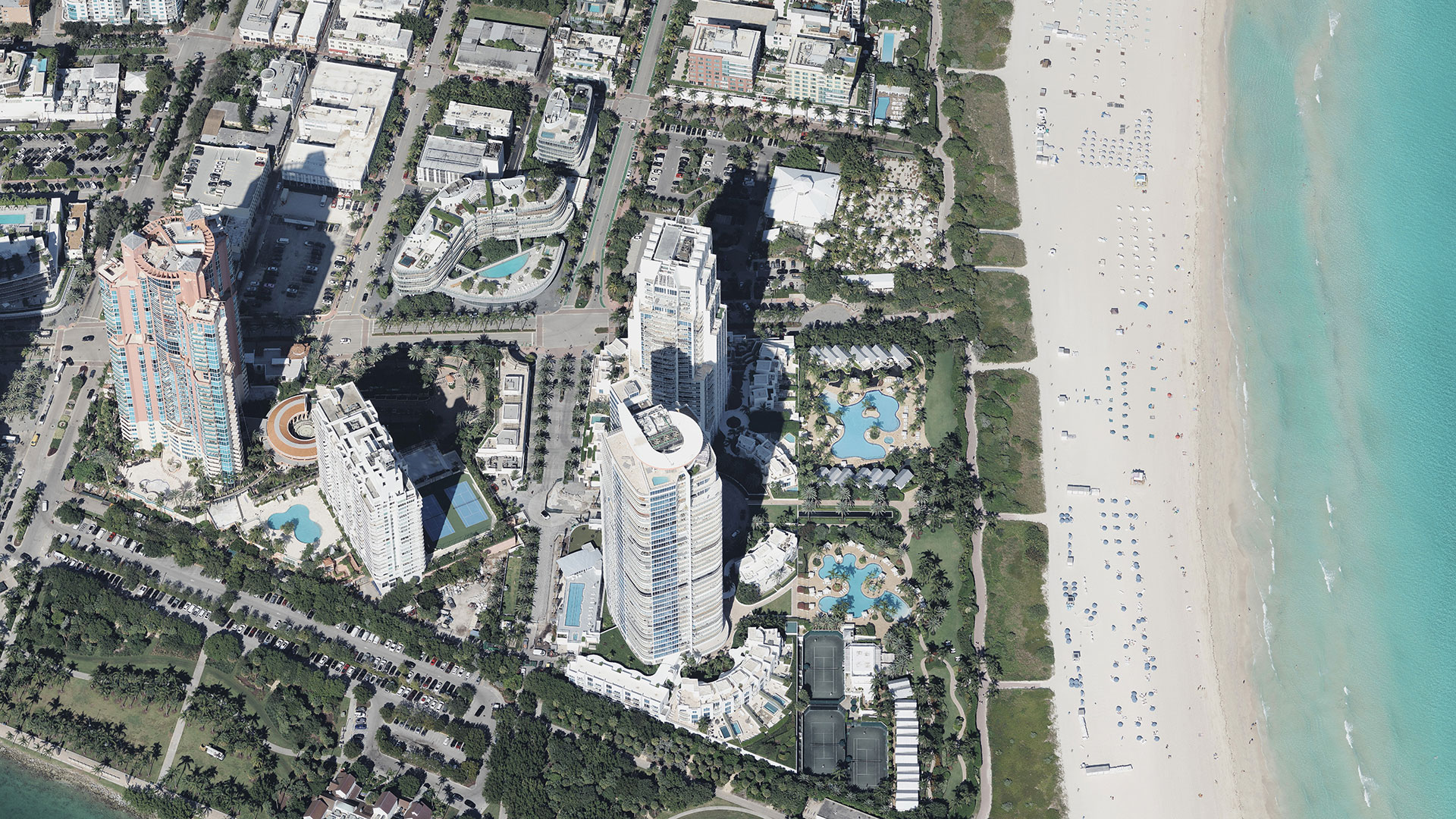
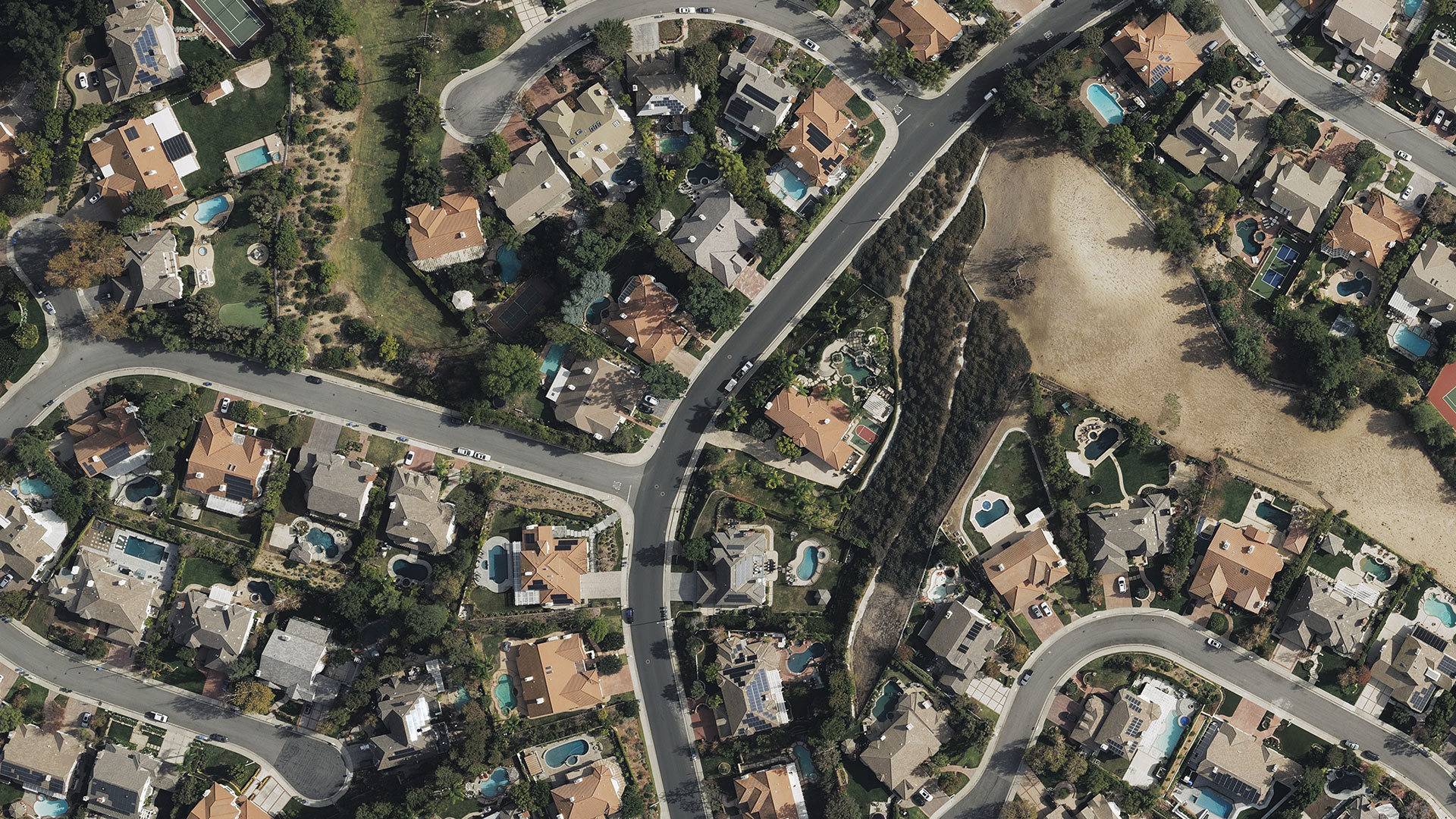
View an entire geographic area easily and remotely without ever setting foot on the ground. Take into consideration the risk factors for a specific area when viewing neighborhoods or city centers.
Extract Data Analytics
Gaining real insight into property is more than just looking at high-res imagery. Underwriters can glean crucial data by making measurements directly on a property, or using AI attributes to quickly identify key features such as swimming pools, solar panels, tree overhang, and more.
Easy Integration
Enhance your project workflows without interruption. Bring imagery into your preferred GIS platform with powerful APIs.
Request A Demo
Unlock more insights for insurance.

