Improving Loss Estimates: A Customer Use Case with Vave
It’s officially the hurricane season when the most tropical or subtropical cyclones are likely to form. From June 1 through November 30, the watch is on and this year, the National Oceanic and Atmospheric Administration (NOAA) expects an above-normal hurricane season. The hope is that the impact won’t be great; the reality could be otherwise.
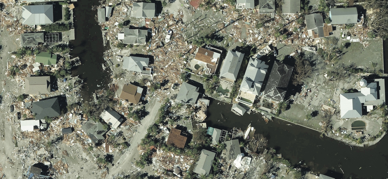
The reality of the impact of Hurricane Ian in September 2022 was devastating to much of Florida, causing catastrophic damage as a Category 4 storm. Many GIC members were quickly engaged in trying to assess how many of their customers were affected, including Vave, a Managing General Agent (MGA) working with Canopius.
CAT Experts Needing Disaster Imagery & Data Analytics
Well known for being CAT experts, Vave delivers precision algorithmic underwriting for high-risk residential and commercial properties in the U.S. After the devastation of Hurricane Ian across Florida, Vave used the high-resolution aerial imagery and data analytics of the GIC to improve its loss estimation and solidify its book of business.
“We had GIC imagery in our hands before the storm clouds had cleared, providing crucial early insight on the most impacted locations,” said, Tim Spencer, Vave’s Head of Portfolio Analytics. “A couple of days later we received building-level damage data from the GIC allowing us to perform building damage assessment on our portfolio, and generate initial portfolio loss estimates.”
Download Case Study
Learn how Vave’s Analytics team used GIC imagery and data–including crucial insights they gleaned on building properties and features in relation to damage–to create a near on point loss estimation valuation by downloading the case study below.


