Gray Sky Event: Hurricane Idalia
High-resolution imagery collected for Cedar Key, Perry, Steinhatchee, Suwannee, Live Oak, Madison, Crystal River, Old Town, Tallahassee, Horseshoe Beach, and Valdosta, GA.
Summary
All our aerial imagery collections are published and available for Hurricane Idalia. In less than 2 days, we captured more than 8,000 km2 across western Florida and Valdosta, Georgia. We also released damage assessment analysis on more than 218,000 unique structures within our Gray Sky collection areas.
Friday | September 1
The GIC, and its operations partner Vexcel, have been processing imagery overnight from all the aerial collections yesterday. High-res aerial imagery will be rolling out into the GIC platform throughout the day.
- Oblique and Ortho imagery is now available at 7.5cm for select areas.
- More AI-derived damage reports are now published.
- More ortho imagery of damage areas has been published overnight
Thursday afternoon | August 31
- More collections today: Our fleet has collected 11 more areas in high-resolution ortho imagery. Four areas will also include oblique imagery.
- All imagery has been published from our First Look collection.
- Damage assessments have been posted for select areas in our First Look collections. See more below.
Thursday morning | August 31
The hurricane season has begun and as usual, Florida is feeling the brunt of the storm systems, starting with the Category 3 storm Hurricane Idalia that made landfall shortly after 7 a.m. in western Florida on Wednesday, August 30. The main impact was centered in a more undeveloped area called Big Bend but began hammering areas such as Cedar Key, Perry, Steinhatchee, Crystal River, and Suwannee with a massive storm surge.
Our Gray Sky team had been prepping for this event all week, positioning planes in safe zones to be ready to fly as soon as it was safe to do so. As luck would have it, the airspace and weather cleared enough by late afternoon where one of our planes could take a first pass and collect a “first look” at these impacted areas, capturing imagery at 10cm and begin delivering information to our GIC members on what the scope of damage was starting to look like just hours after Idalia’s impact.
Our team is continuing to collect in earnest with greater detail today (August 31), mobilizing multiple planes to capture oblique and ortho imagery so as to enable property data analytics on damaged residences for our GIC members.
Our thoughts go out to the all the communities impacted by this tragic storm. Please let us know if you need access to imagery or feel free to reach out to our member advocacy team if you have additional questions.
Hurricane Idalia Imagery
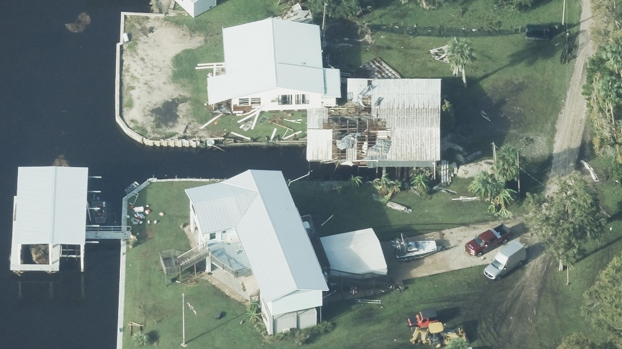
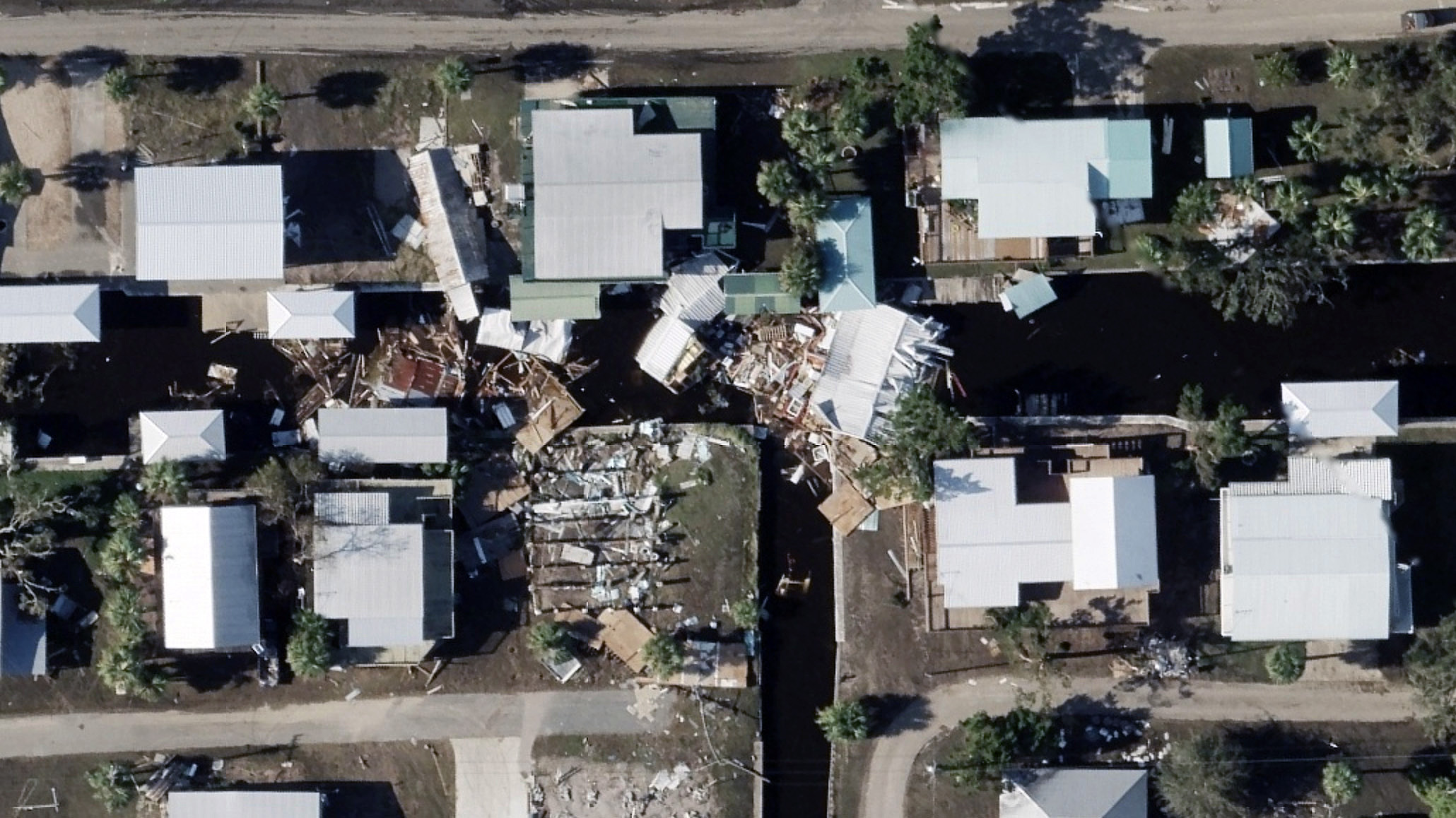
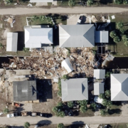
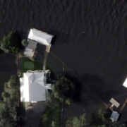
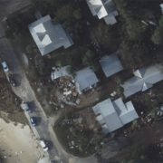
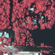
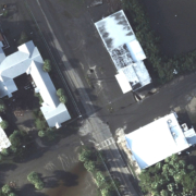
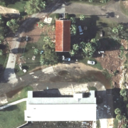
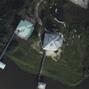
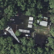
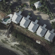
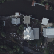
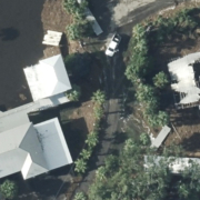
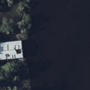
Below are just a few examples of Hurricane Idalia imagery to help provide some context of the level of damage residents are dealing with on the ground after this major storm.
Damage Assessment
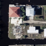
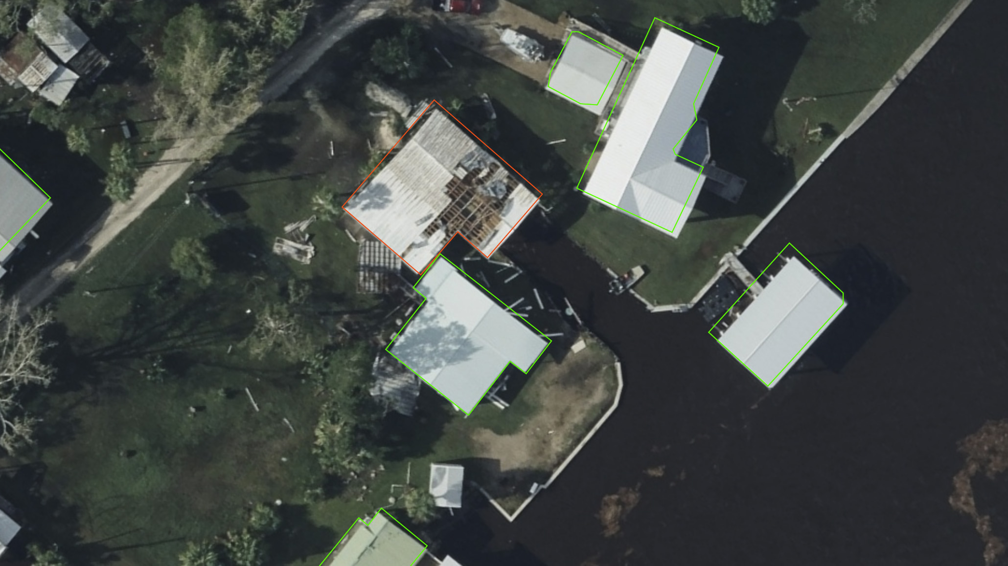
Damage Assessment is now available for several areas to help GIC members remotely review property analytics for their PIFs so they can triage and proactively begin the claims process to help those in greatest need. Our early assessment shows a lot of newer metal roofs that appeared to survive the high winds of Hurricane Idalia. In the image below from Old Town, Florida, you can see our AI found this damaged house among others that appeared to have little to no damage.
Request Access
Our imagery collections and damage reports will be rolling out in waves as we collect, transfer, and process the data. Imagery is available via the GIC Viewer, APIs, Image Services for ArcGIS, and through select partners. Please let us know if you need imagery for your response and recovery. To request access to imagery from Hurricane Idalia, please fill out our contact form below.

