Campfire Imagery is Now Online
The first imagery of the California fires has gone online for GIC members. We have 20cm coverage for Chico that can be seen here:
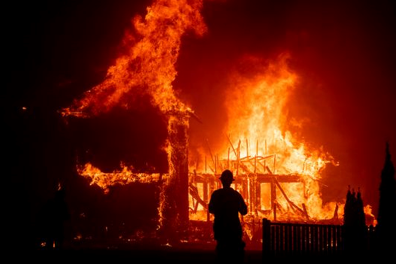
Camp Fire / Northern California
Due to heavy smoke and difficult flight conditions we were able to fly more to the west in Chico. These conditions prohibited safe collecting near Paradise, California. We plan to try to collect in these hilly regions Sunday.
Data from any flights on Sunday will be available on Monday.

* White shading: collected and available online
* Red shading: first priority for Sunday
* Green shading: second priority for Sunday and possibly for Monday
Woolsey / Southern California
The fire in southern California aka “Woolsey” or Thousand Oaks has been growing. At the request of several GIC members we are adding additional coverage for Malibu and surrounding areas.
Data from Saturday’s collection is being processed and will be available Sunday afternoon.
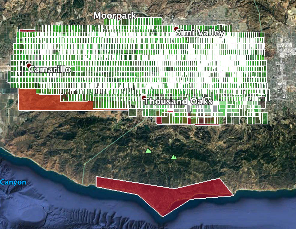
* Green/white shading: collected and being processed
- Red shading: priority AOI for Sunday.
We will continue to monitor conditions and adjust flight plans as needed.
These plans are subject to change as weather conditions, flight restrictions, and smoke cover permit. As always, the safety of our pilots and operators is top priority. We invite input from all GIC members on these plans. If you have additions you would like to request to these AOI’s, please let us know immediately. If you have a table of addresses that are of high concern, we can assist in turning them into a geographic AOI. Contact us at info@geointel.org


