With Hurricane Florence expected to make landfall as early as Thursday afternoon we are in full planning and mobilization stages at NICB’s Geospatial Intelligence Center.
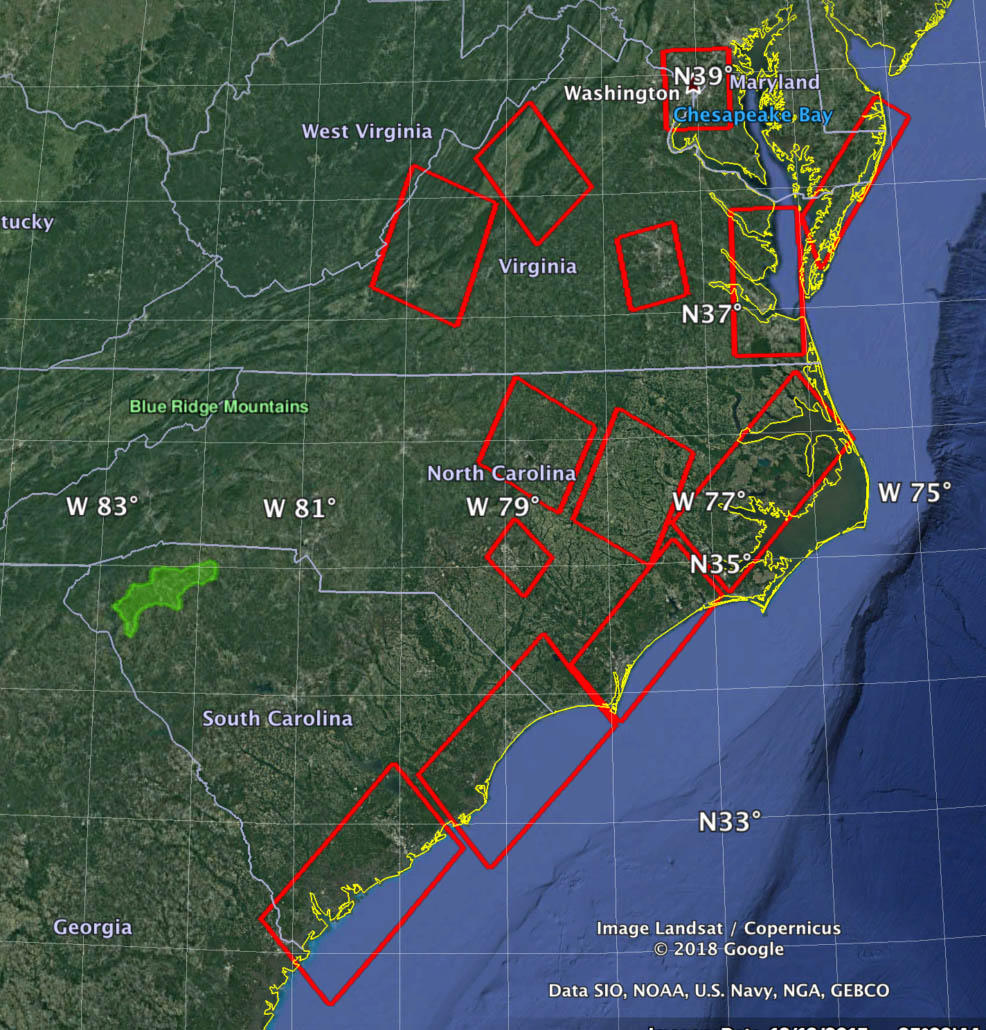
We anticipate starting aerial collections as soon as the weather clear. While we don’t know as-yet what the collection and damage zones will be we are closely monitoring forecasts (such as the one above from FEMA) and flight planning ahead of the event.
If you have input or requested areas, please reach out at info@geointel.org.

