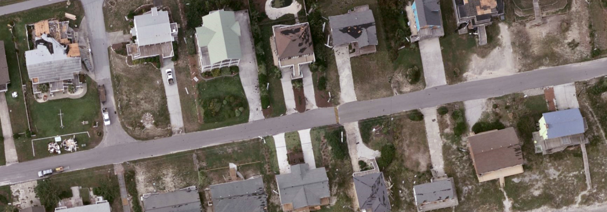
Florence Imagery Live on GIC Web Map Portal
The Geospatial Intelligence Center has been tirelessly collecting volumes of post-Florence imagery since Monday of this week and has completed roughly 75% of targeted areas of interest (AOIs). Around the clock data processing and uploading has allowed the GIC to rapidly publish imagery on the GIC ArcGIS web map portal since Tuesday night where it is being used by insurers, government agencies and emergency responders to assist in critical disaster relief efforts.
Given reports of increased flooding and resulting damage, additional AOIs are being defined.


