Announcing Image Services for ArcGIS
Access to aerial imagery within ArcGIS just got easier for GIC members. Announcing Image Services for ArcGIS, a better–and more streamlined–way to integrate the GIC’s massive imagery library into member workflows. Improve decision making across the policy life cycle with greater accuracy when adding ArcGIS capabilities into the mix.
No Plug-ins Required
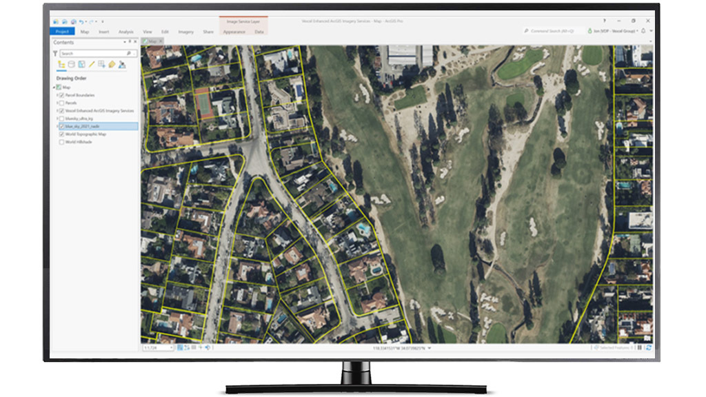
Members who are ArcGIS users can access informative layers or derive location insights with confidence without using any proprietary plug-ins. By optimizing access to Esri’s flagship platform, members can connect to and benefit from:
- The world’s largest aerial imagery program, collecting 20+ countries
- Current and historical imagery, from cities to rural areas
- Unmatched accuracy across multiple products
- Regularly updated imagery, both Blue Sky and Gray Sky
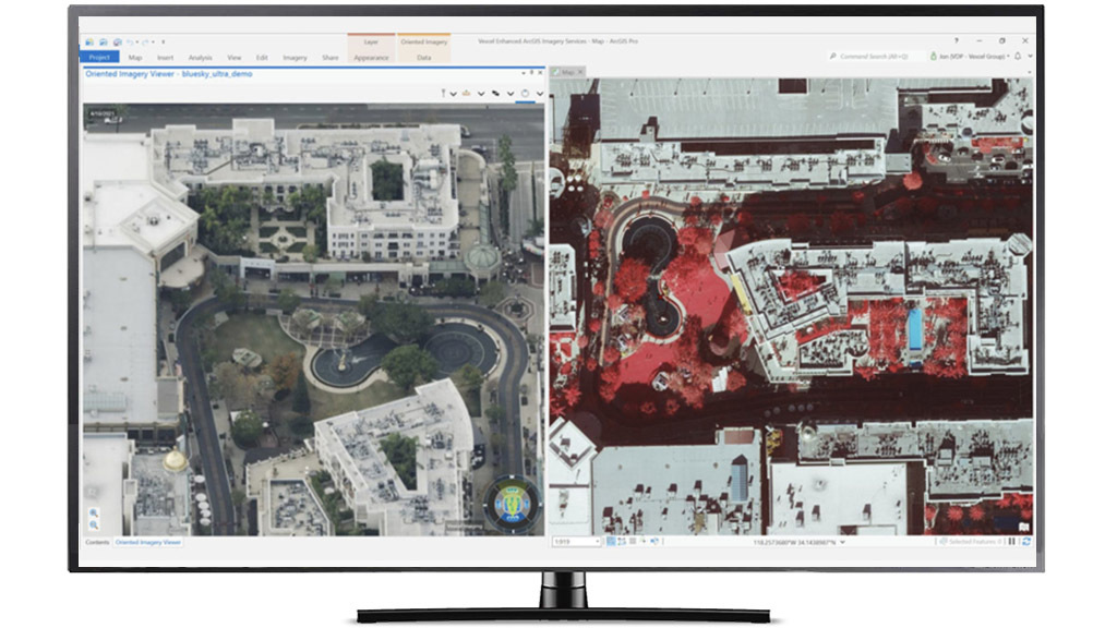
Members can access GIC imagery inside ArcGIS Online, ArcGIS Pro, and ArcGIS Java Map Control.
Better Views, Easy Integration
Members can streamline their underwriting or claims management efforts at greater speeds by viewing complete cityscapes, entire rural regions, pre- and post-event disaster imagery and more. Use oblique imagery to virtually tour a property, multispectral to identify vegetation risk, true ortho imagery to see urban areas in incredible detail, and ortho imagery that covers 100% of the population in the U.S., from coast-to-coast. It’s all about delivering the highest caliber of aerial imagery for better geospatial intelligence to solve real-world problems with greater ease.
For additional information on how to start using GIC imagery inside ArcGIS, contact the Member Advocacy team for assistance.
Esri and ArcGIS are trademarks, registered trademarks, or service marks of Esri in the United States, the European Community, or certain other jurisdictions. Other companies and products mentioned herein may be trademarks or registered trademarks of their respective trademark owners.


