New Imagery Added to Web Application
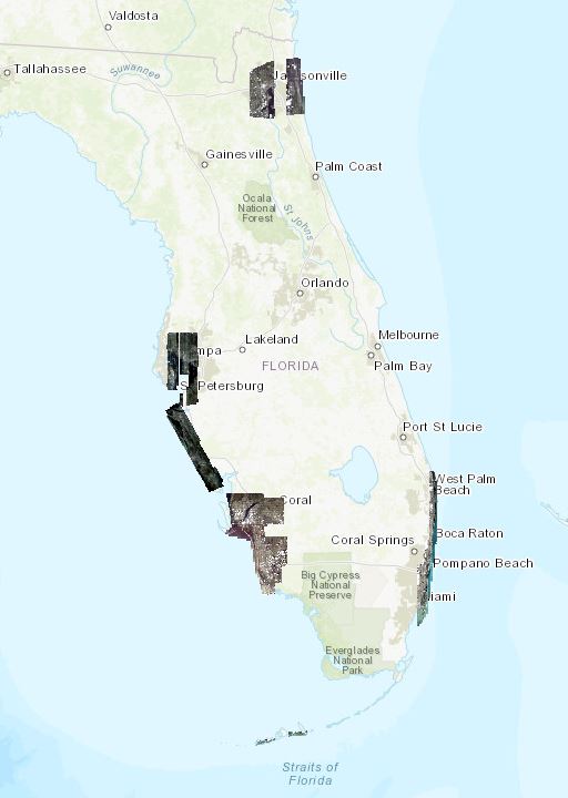
6″ nadir imagery of Jacksonville has been added to the web application and Fort Myers imagery has been updated. Those with credentials can access the new data using the Responder Maps link on the home page of this site.
Reported by Esri.


