Tornado Rips Through Brunswick County, North Carolina
On a late Monday evening, residents of Brunswick County, NC had little to no warning as they were hit hard by a fast-moving tornado. Due to the turbulent weather crossing the U.S., severe thunderstorms had been expected, but what happened next was the unexpected.
Part of the mission of the GIC is to help those hit by the unexpected by collecting aerial imagery after disasters, sharing the needed aerial data with our members so they in turn can help those impacted by catastrophic events.
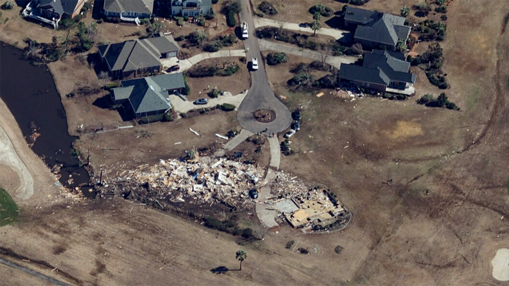
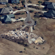
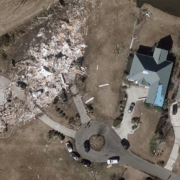
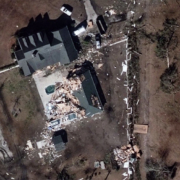
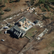
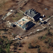
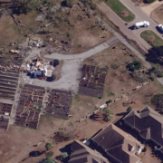
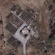
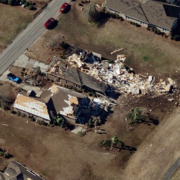
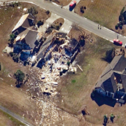
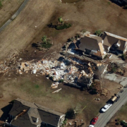
Our aircraft was able to collect imagery in the hardest hit areas across Brunswick County, including Sunset Beach, Ocean Ridge Plantation, and Grissettown. Providing ortho and oblique imagery at 7.5cm ultra-high resolution will allow members to see in great detail, and with reliable accuracy, the level of destruction so a proactive response plan can be put in place. Our members rely on this critical ground truth to deliver better solutions for their customers and the community.
Imagery is also shared with emergency managers in the impacted region, helping increase their situational awareness and ensure their responders and survivors are kept safe. The Gray Sky imagery is available in the Viewer app and in partner platforms. If you need access to this post-cat imagery, please contact us.
As weather continues to change at a rapid pace currently, we’ll continue our 24/7 monitoring and be ready for when the next Gray Sky event occurs.



 GIC
GIC