Aerial Products with a Focus on Insurance
The GIC has expanded its aerial imagery and geospatial program to Australia. The GIC offers a cloud-based imagery service for insurers to enhance their policy workflows, from beginning to end.
Blue Sky Imagery
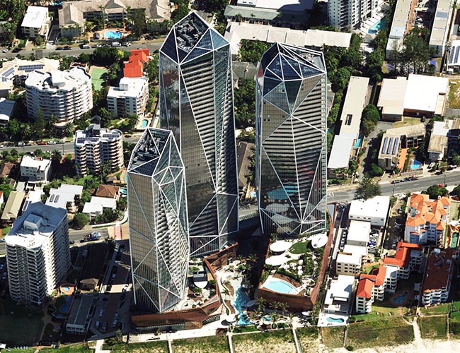
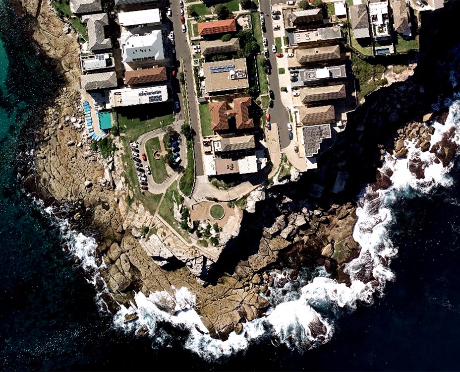
Members get access to high-resolution aerial imagery for major cities across the country, covering 80% of the Australian population at a 7.5cm resolution or better. Gain greater insights of properties with the top-down views of Ortho and the multi-direction views of Obliques.
Gray Sky Imagery
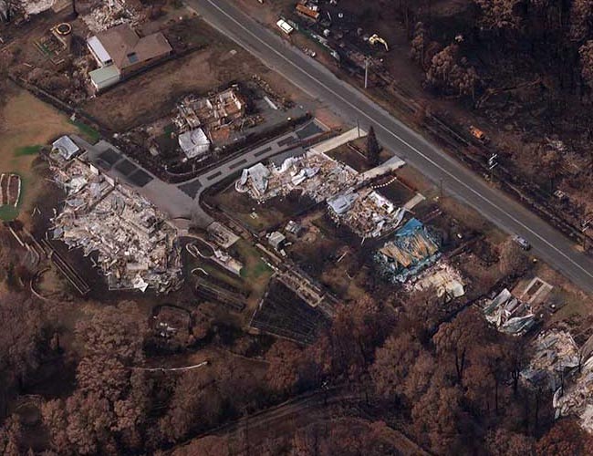
The GIC responds to major storms and catastrophic events, including tropical storms, bushfires, earthquakes, and more. Get insights into damaged properties often before reported claims.
Better Than Satellite Maps
Access to real ground truth starts from above with the ability to capture reality in stunningly sharp resolution. The GIC’s official operations partner, Vexcel, flies year-round across major urban areas of Australia, taking that data and putting it through a rigorous production process to produce imagery that is 4x clearer than satellite imagery. It’s compelling location content to help you plan your projects with confidence.
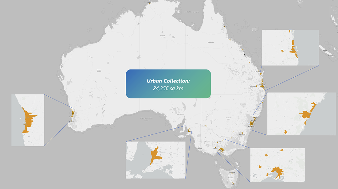
Blue Sky Coverage
Get a quick glance at the coverage across Australia for ortho and oblique imagery.
80%
of Australian population covered
7.5
cm resolution. Each pixel equals 7.5cm on the ground.
5
view angles of each property (vertical, north, south, east, west)
Request A Demo
Unlock the perfect partnership for insurers. Membership includes:


