As South Carolina braces for record flooding, GIC expands aerial imagery missions.
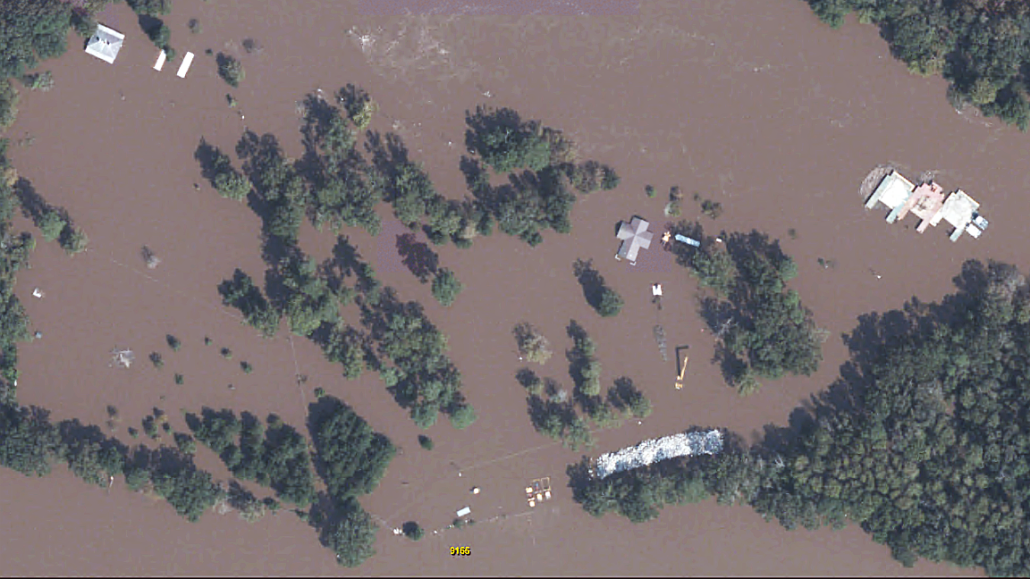
As wide swaths of new high-resolution imagery continue to be added daily to our GIC Web Map portal, water levels in Georgetown, SC are increasing with latest forecasts calling for the worst of the flooding to come on Friday. Levels are predicted to be in the 2-4 foot range, rather than 10 feet as previously expected. That is still above levels seen following Hurricane Matthew and officials are cautioning that forecasts could shift again and return to the original 10-foot levels.
In light of this, the GIC is mobilizing additional aircraft equipped with highly efficient large format aerial sensors to augment our current response. As is typical, processed imagery is expected within 24 hours of “wheels down” for GIC members and others with credentials to our Web Map portal.


